

These Stippled Islands
- cmw2559
- Aug 22, 2023
- 2 min read
We are navigating some of the best cruising grounds along the Maine coast. There are so many little harbors, quaint lobster villages and remote coves between Seal Bay on Vinalhaven and Schoodic Point, just east of the Acadian Peninsula, that it is hard to count them all. One couple, Hank and Jan Taft, wrote a ground-breaking cruising guide in the late 1980s. It went through six editions, the last dated 2017. Just visiting the four-star and five-star harbors as ranked by the Tafts fills our itinerary for this part of the coast for two weeks. It is a feast for all the senses.
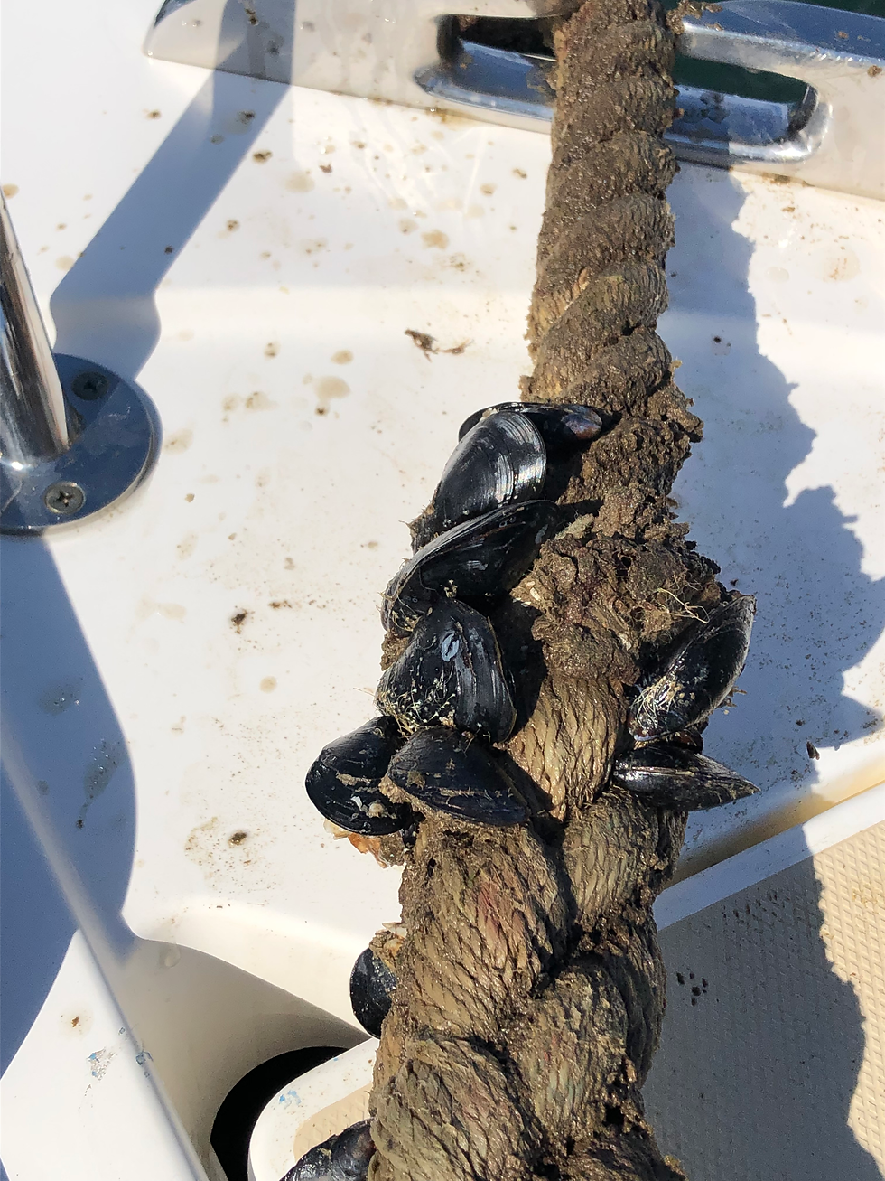
After leaving Seal Bay, we headed east into the Deer Isle Thoroughfare and Merchant Row. We wanted a place to stop for lunch and so we ducked into a cove nestled between Merchant Island and Harbor Island, just north of Isle au Haut. Lucky us. We found a mooring with the evidence below that it had not been used much this summer. Perhaps the mussels could have made a nice lunch. But we left them attached to the mooring line. The line itself is heavy, suggesting that the mooring was designed for a large boat and big storms. It was a quiet day, so we sat back and enjoyed a peaceful lunch.
To give you sense of just many choices we have for places to stop, consider this picture of the chart covering this area.

The lefthand pencil points to Vinalhaven and Seal Bay. The righthand pencil points to the top of Frenchman Bay and Sorrento. To the right of the left pencil is an island called Isle au Haut. The first chart below shows all of the islands north of Isle au Haut, between it and Deer Isle.
Our lunch stop with the mussels is Merchant Island near the bottom of this mass of islands. The first group of photos after the next chart shows our overnight anchored between Devil Island and Bold Island near the top of this group.
What is tricky, as you navigate amongst all of these islands, is keeping track of where you are so you don't run aground!!


This is the view to the north of where we were anchored between Devil and Bold, looking at the Deer Isle Thoroughfare.

Here's the same view at sunset and low tide, exposing all of our nearby "friends."
To our west, ahead of our bow, the water shallows rapidly.

And to our south we are protected by Devil Island. We think it is named Devil for all of the nearby rocks!

To the east of these islands is the second chart showing Swan Island and to the east of that, Frenchboro.
You can see Swan Island (left pencil) and Burnt Coat Harbor. To its right is Frenchboro. The pencil points to Lunt Harbor.

Here's the entrance to Burnt Coat Harbor:

And a decorated bell just inside the harbor:
The village is lobster-ville. There used to be other industries, but lobsters now dominate.

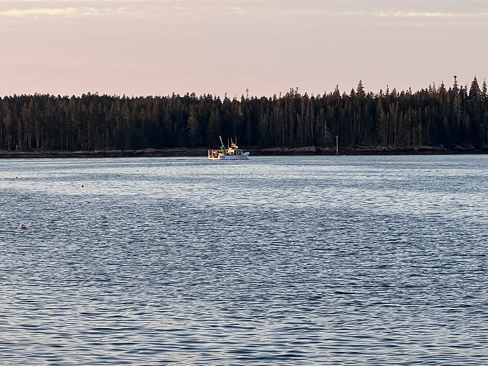
The lobster boats go out around 6:00 am.
Which is also about the time of sunrise.

Of course, the seals and waterfowl are up at this time, too.
They all send you their Burnt Coat greetings. For today, we go across the small passageway to Lunt and the next post in our blog.
Cheers,
Brio


Comments